This function generates a hexagonal grid and performs spatial sampling based on the provided data and parameters.
Usage
spatial_hexgrid_sample(
data,
sidelength,
top_type = "flat",
show_grid = TRUE,
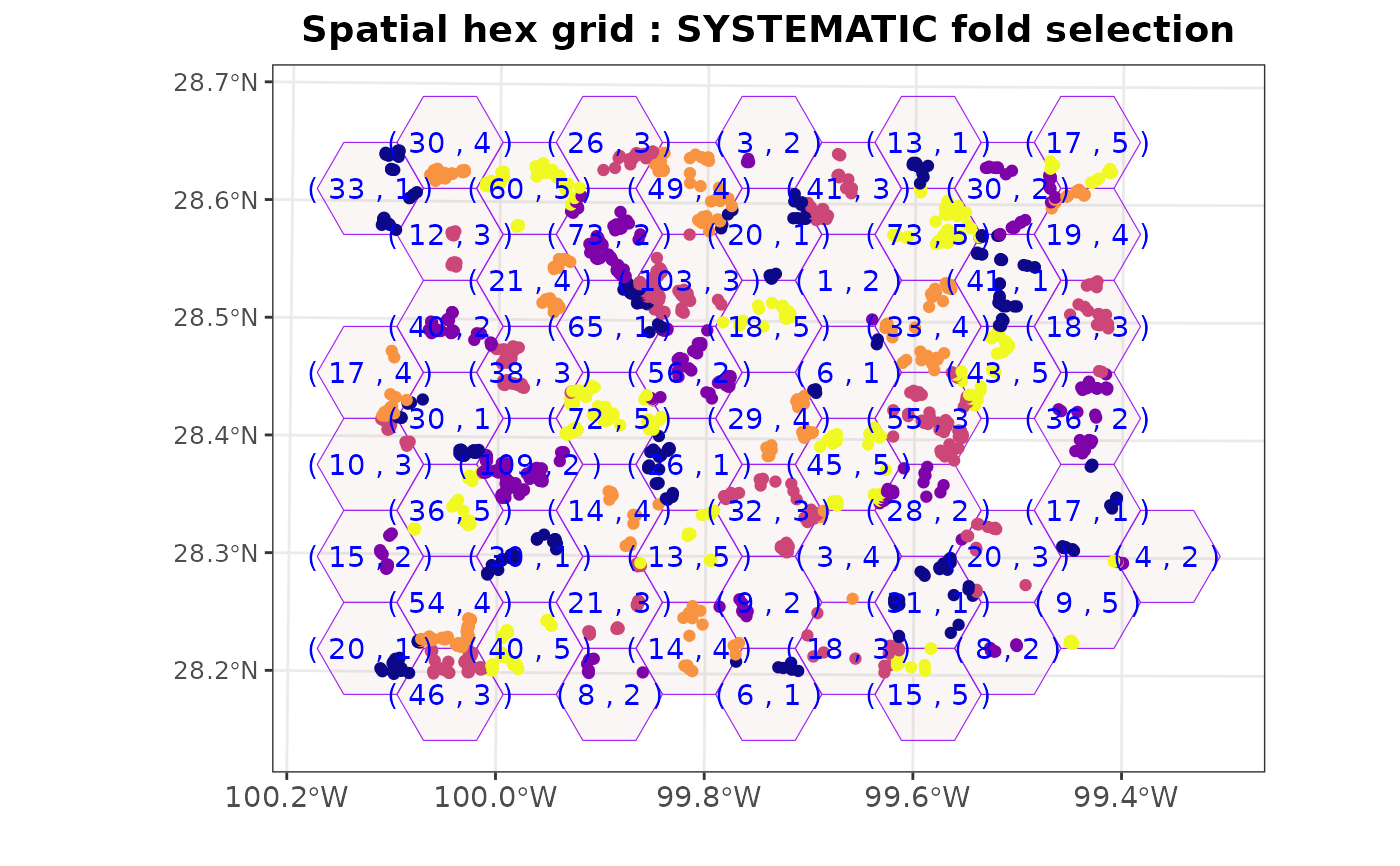
fold_selection = "default",
k = NULL
)Arguments
- data
The input data. It can be either an
sfobject or aSpatialPointsobject.- sidelength
The length of the hexagon's side.
- top_type
The type of the hexagon top, either "flat" or "pointy". Default is "flat".
- show_grid
Logical value indicating whether to display the hexagonal grid. Default is TRUE.
- fold_selection
The method for fold selection. Options include "default", "systematic", or "random". Default is "default".
- k
The number of folds for fold selection. Required when 'fold_selection' is "systematic" or "random". Default is NULL.
Value
A list containing the plots (if 'show_grid' is TRUE), the hexagonal blocks (sf object), and the split objects.
Examples
# Load sample data
data(landcover)

# Generate a spatial hexagonal grid sampling with a sidelength of
# 10 km and 5 folds using systematic selection
hexgrid <- spatial_hexgrid_sample(landcover, sidelength = 10000,
            fold_selection = "systematic", k = 5)
#> Warning: attribute variables are assumed to be spatially constant throughout all geometries